ThinkCities
France's 1st decision-making tool for territorial resilience
Our decarbonization solution : ThinkCities
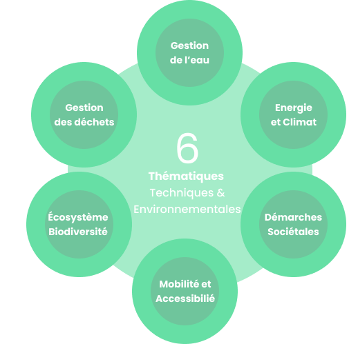
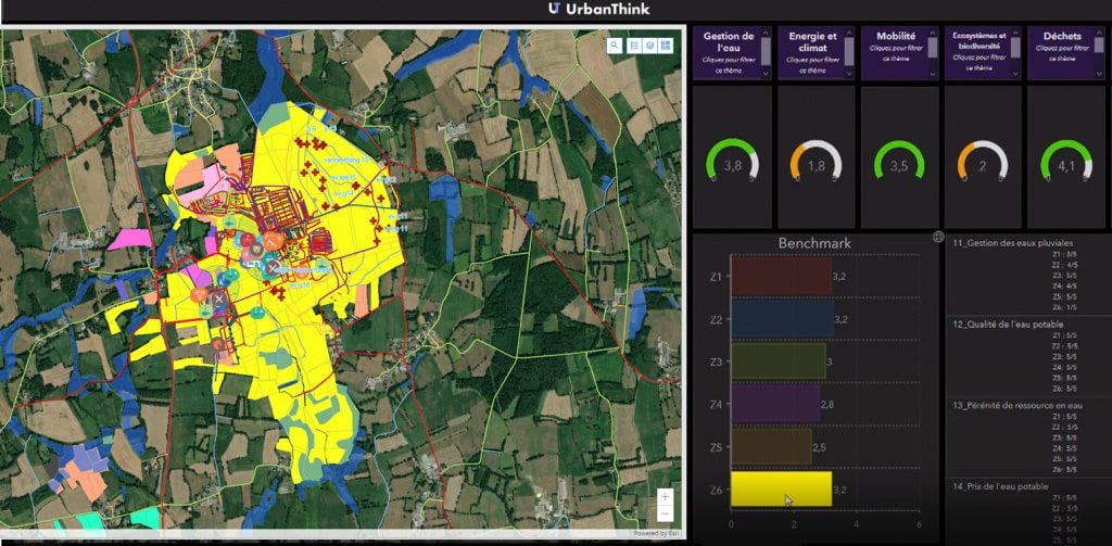
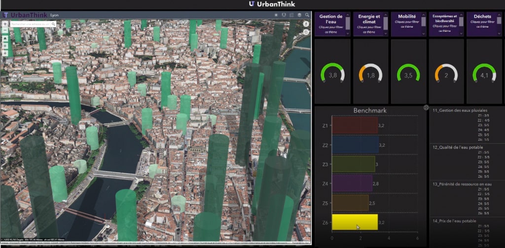
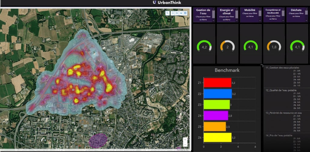
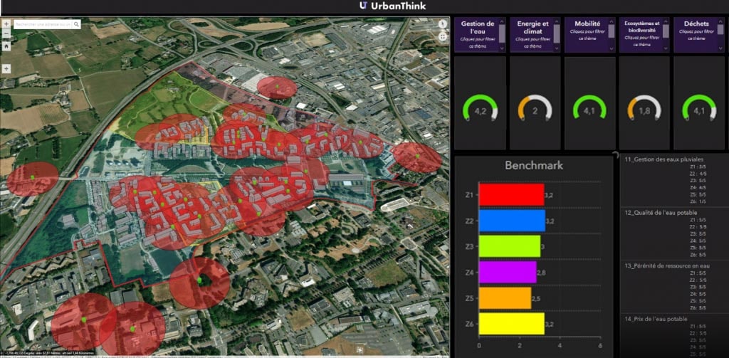
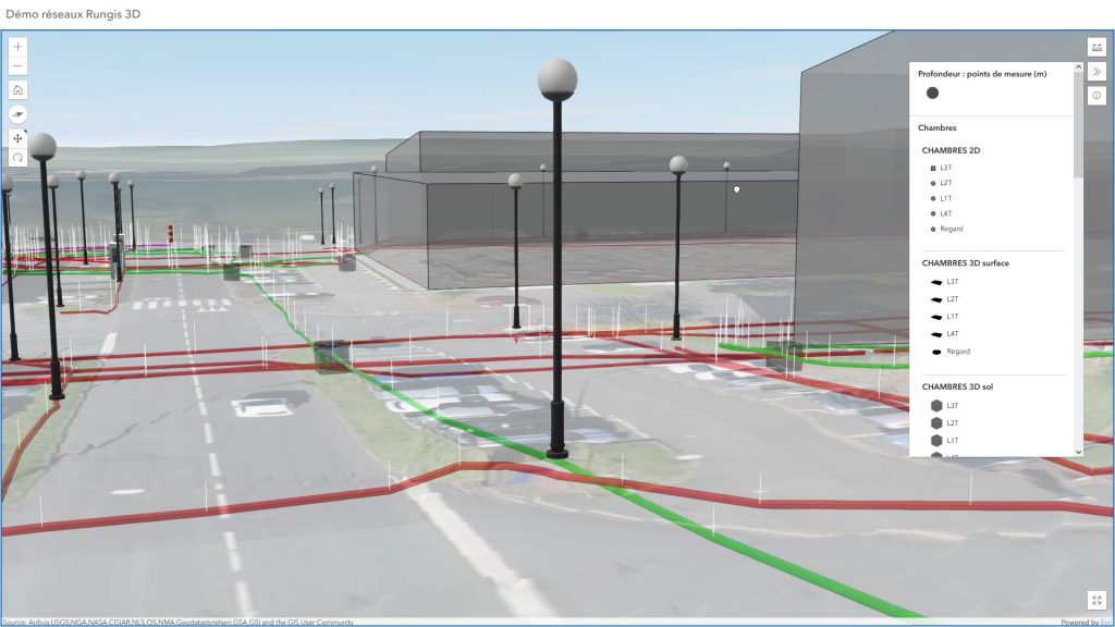
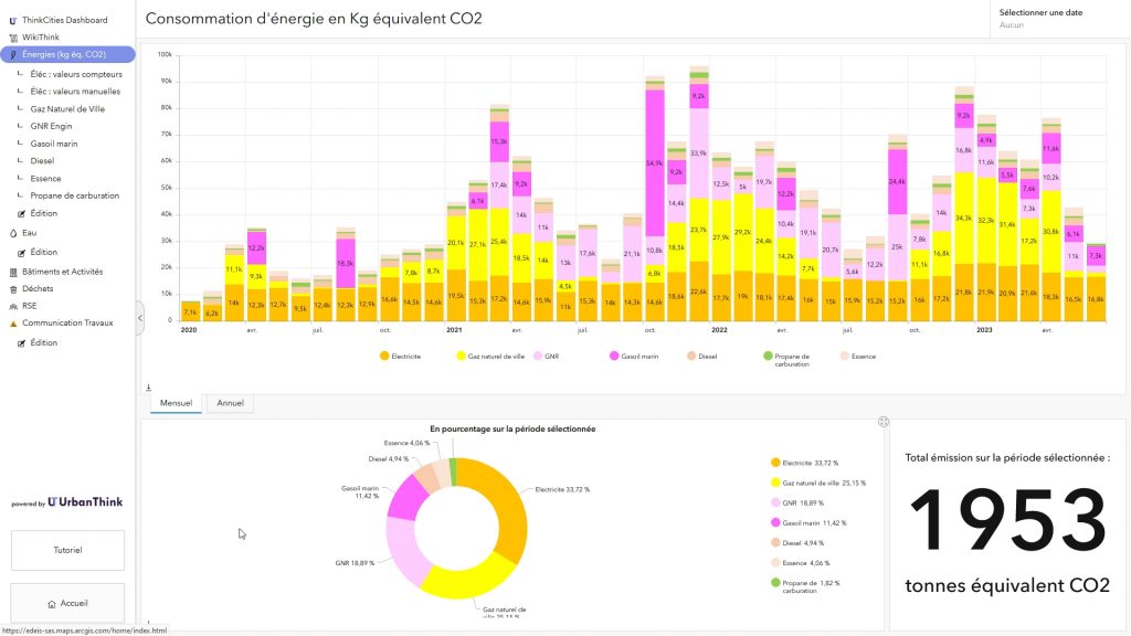
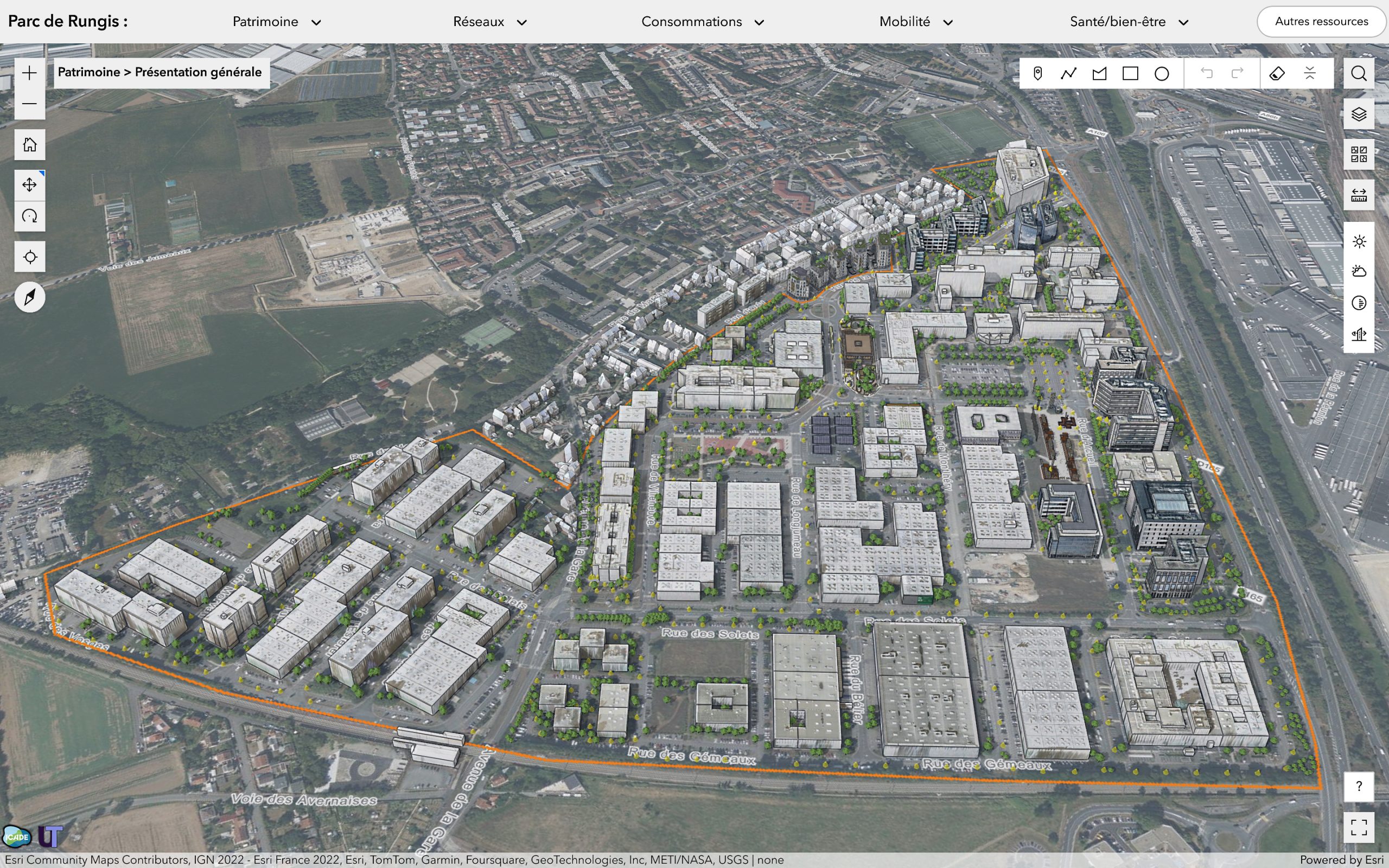
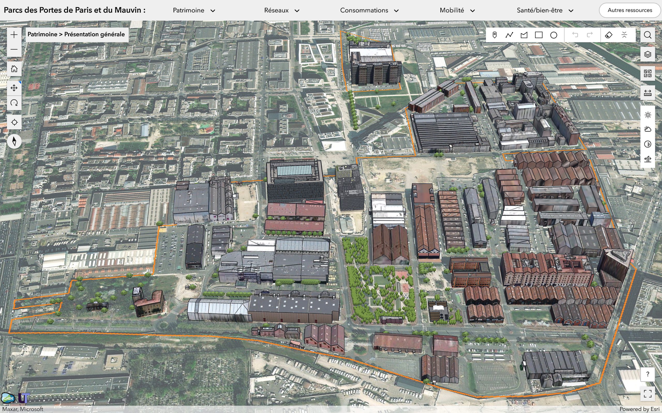
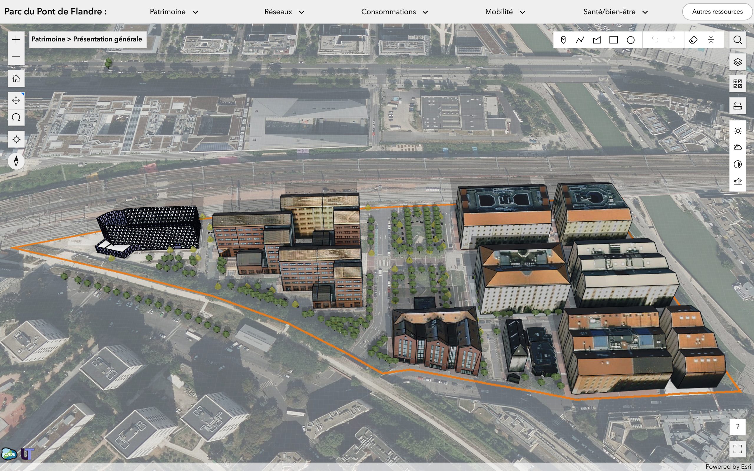
Create a complete digital representation of your territory by combining 2D/3D mapping with a digital urban twin. Get a 360° view of your data and a systemic analysis via over 60 indicators divided into 6 themes: Water management, Energy and Climate, Societal approaches (CSR), Mobility and Accessibility, Ecosystems and Biodiversity, Waste management.
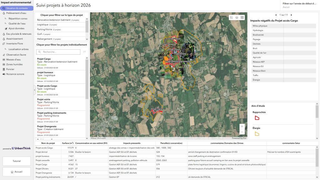
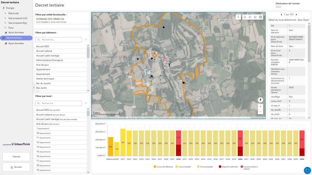
Our customizable platform fully exploits the potential of your real-time data to simulate your decarbonization projects, providing comprehensive and accurate reports.
Your territory always within reach
Referenced indicators
ThinkCities® is based on the analysis of 60 sets of referenced indicators, to offer all those involved in regional planning, and above all local authorities, a common self-assessment tool enabling them to draw up a summary portrait of sustainability in their area, and their commitment to it.
60
Referenced indicators
6
Expertise topics
